7:03 AM EST Thursday 22 December 2022
Winter storm watch in effect for:
Hazards:
Snow, heavy at times, with amounts of 10 to 15 cm by Friday afternoon.
Risk of freezing rain.
Wind gusts of 70 to 90 km/h creating widespread blowing snow which will significantly reduce visibility.
Flash freeze producing icy and slippery surfaces.
Timing:
Snow beginning this evening, then transitioning to rain Friday morning. A risk of freezing rain will exist during the transition.
Strong winds developing Friday afternoon and continuing into Saturday.
Flash freeze Friday afternoon.
Discussion:
Snow, heavy at times, is expected to begin this evening before changing to rain Friday morning. During this transition, there is a risk of freezing rain and ice pellets. Should freezing rain or ice pellets develop, snowfall amounts would be reduced. Temperatures are expected to plummet Friday afternoon leading to a potential flash freeze. Rapidly falling temperatures will be accompanied by strong winds along with snow, heavy at times. Significantly reduced visibility will occur in blowing snow after the cold front moves through.
Avoid travel if possible. Visibility may be suddenly reduced at times in heavy snow. Travel is expected to be hazardous due to reduced visibility in some locations. Surfaces such as highways, roads, walkways and parking lots may become icy and slippery. Public Safety Canada encourages everyone to make an emergency plan and get an emergency kit with drinking water, food, medicine, a first-aid kit and a flashlight. For information on emergency plans and kits go to http://www.getprepared.gc.ca.
Please continue to monitor alerts and forecasts issued by Environment Canada.
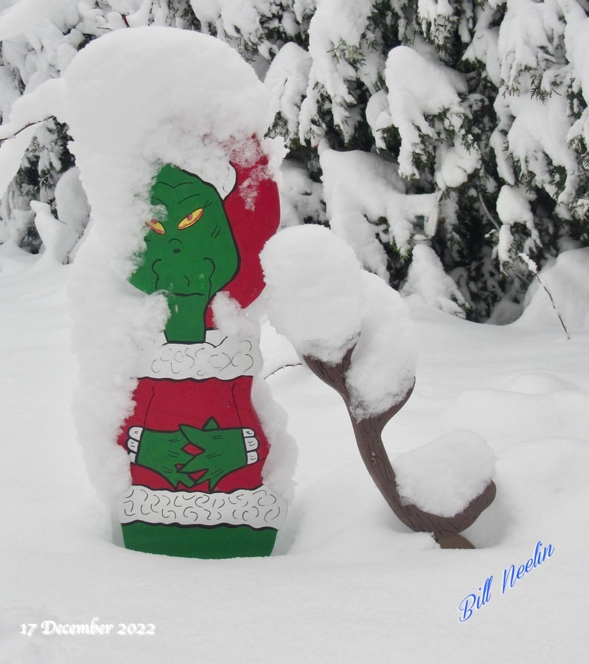
A few photos from the snow on the 17th of December 2022.
Winter storm watch in effect for:
- Ottawa North - Kanata - Orléans
- Ottawa South - Richmond - Metcalfe
Hazards:
Snow, heavy at times, with amounts of 10 to 15 cm by Friday afternoon.
Risk of freezing rain.
Wind gusts of 70 to 90 km/h creating widespread blowing snow which will significantly reduce visibility.
Flash freeze producing icy and slippery surfaces.
Timing:
Snow beginning this evening, then transitioning to rain Friday morning. A risk of freezing rain will exist during the transition.
Strong winds developing Friday afternoon and continuing into Saturday.
Flash freeze Friday afternoon.
Discussion:
Snow, heavy at times, is expected to begin this evening before changing to rain Friday morning. During this transition, there is a risk of freezing rain and ice pellets. Should freezing rain or ice pellets develop, snowfall amounts would be reduced. Temperatures are expected to plummet Friday afternoon leading to a potential flash freeze. Rapidly falling temperatures will be accompanied by strong winds along with snow, heavy at times. Significantly reduced visibility will occur in blowing snow after the cold front moves through.
Avoid travel if possible. Visibility may be suddenly reduced at times in heavy snow. Travel is expected to be hazardous due to reduced visibility in some locations. Surfaces such as highways, roads, walkways and parking lots may become icy and slippery. Public Safety Canada encourages everyone to make an emergency plan and get an emergency kit with drinking water, food, medicine, a first-aid kit and a flashlight. For information on emergency plans and kits go to http://www.getprepared.gc.ca.
Please continue to monitor alerts and forecasts issued by Environment Canada.
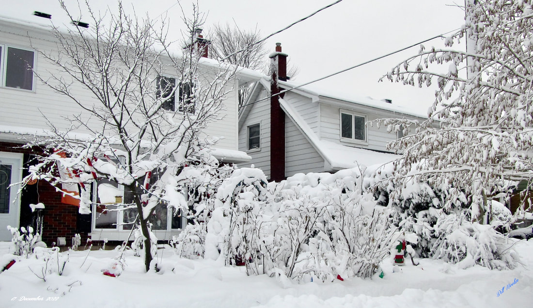
A few photos from the snow on the 17th of December 2022.


 RSS Feed
